 |
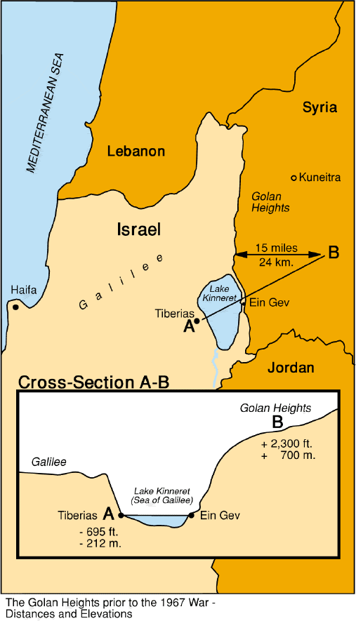
Figure 1 Map of the Sea of Galilee vicinity, grabbed from a state gopher site in Israel.
 |
The Sea of Galilee, also known in Israel as Lake Kinneret (Figure 1), is a unique natural object because of both its ancient history and its geography. It is a rare case of a freshwater lake below sea level. From a geological point of view, the location of the lake is connected to a great rift crossing east Africa. Our project addressed processing of the bottom sounding survey data collected by Zvi Ben Abraham at Tel-Aviv University 1990.
The original data include over 100,000 triples (xi,yi,zi) . The range of x's is about 12 km, and the range of y's is about 20 km. The depth coordinates range from 211 m to 257 m below sea level. Consecutive measurements are close to each other and cover the area of the lake with a fairly even grid. However, a number of empty bins remains even after sparse binning (Figure 2). Using primitive preprocessing editing, we got rid of several measurements containing zeroes or evident mispositioning errors.
 |
The major goal of this project was to interpolate the data to a regular grid. Properly interpolated data can enable searching for the local features of interest, including geological structures as well as sunken ships and other exotic archeological objects. Our attention was focused on developing a data interpolation technique that might be useful in a wide variety of geophysical applications.
The general method we chose for the problem is linear inverse interpolation with a known filter, as described by 1994. This method did produce the desired result, but a non-Gaussian noise distribution caused serious problems in its implementation. To cope with these problems, a version of the iteratively reweighted least squares (IRLS) technique Darche (1989); Scales et al. (1988) was applied.