


![[*]](http://sepwww.stanford.edu/latex2html/foot_motif.gif) ,
between mid-ocean ridges, or across some
political borders. This has implications for this method as I have
not implemented a normalization method for this computation.
,
between mid-ocean ridges, or across some
political borders. This has implications for this method as I have
not implemented a normalization method for this computation.
As a further exercise in exploring this methodology, it would be useful to bin data into crustal segments that vary as a function of the angular distance away from the map point being considered. This will present some challenge as the map will manifest itself as a constantly updating variable grid problem that will be difficult to calculate and nearly impossible to code an effective adjoint.
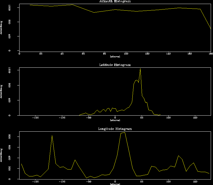 |


From the below variogram of the entire data set, it is clear that this method of 'normalization' should be effective and could be faked by simply calculating several maps discriminating data inputs over several distance criteria and then correlating (or rather hoping for a correlation of) each of these.
The variogram corroborates the notion that at small distance scales the stress azimuths are roughly parallel and get more evenly distributed at larger offsets. Local stress pattern investigation such as that undertaken by (6) in Europe or (3) in India, could well be enhanced by this data manipulation.
 |