 |
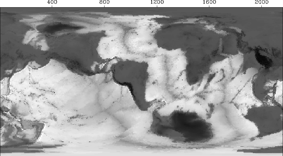
Figure 2 The world as Gerhardus Mercator might have drawn it if he had lived at Stanford University. Press button for movie (and be patient).
Many times we simply deform or stretch a wave field or a map. A curious mapping I once made was a transformation of world topography (including ocean depth). Great circles play an important role in global surface-wave propagation because waves travel on the great circles. In my transformed map, the great circle from Stanford University to the east is plotted as an equator on a Mercator projection. North at Stanford is plotted vertically as usual. Figure 2 shows it.
 |
Deformations can either stretch or shrink or both, and different practical problems arise in each of these cases.