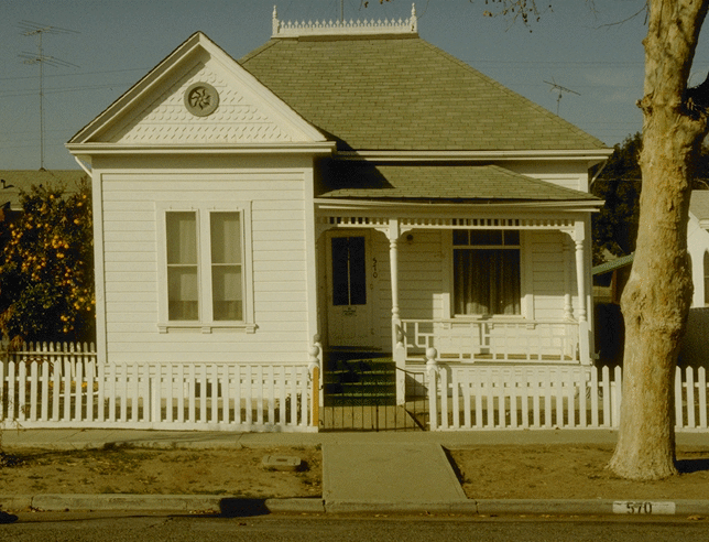
Structures near or straddling the active strand of the fault require new foundations periodically to repair the slow distortion caused by the fault creep. As you walk through Hollister, keep an eye out for subtly distorted buildings.
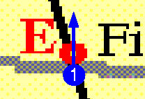
This wall across the street from Dunne Memorial park is quite spectacularly bent. The photo F1 on the left looks East; photo F2 on the right shows the same wall looking West.

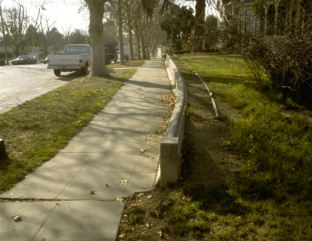
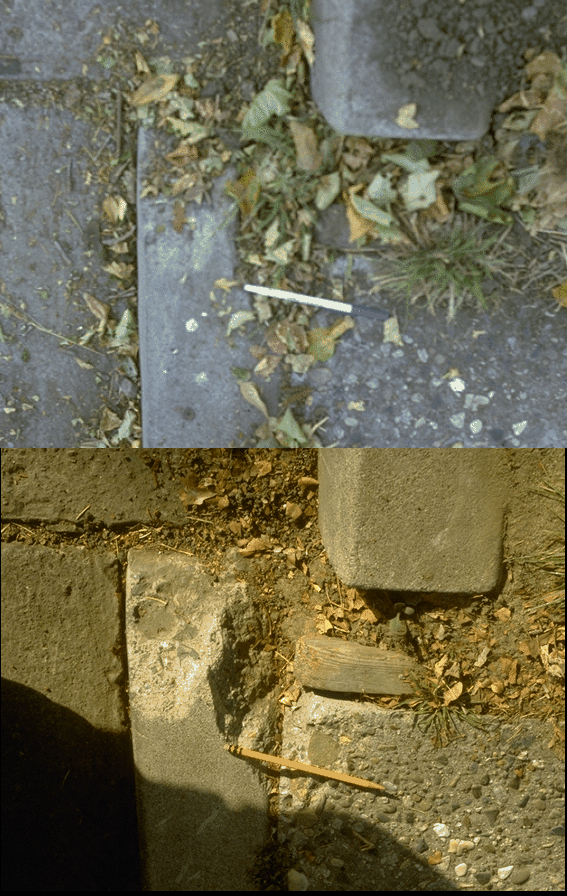
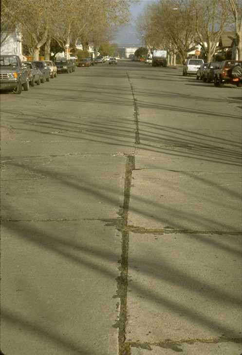
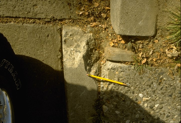
The nearby curb on the North side of 6th street is also being displaced. The photo on top was taken in June 1985, the one on the bottom in February 1991. Is only 5 and a half years' worth of displacement discernible? Hint: use the random patterns in the pebbles to see how much the curb has moved relative to the sidewalk on the other side. (Why I didn't sweep the leaves clear in 1985 before taking the picture I can't understand! And here's a tip I've learned the hard way: take along a fill flash for your camera, in case a parked car is shadowing where you want to photograph.)
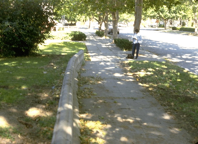
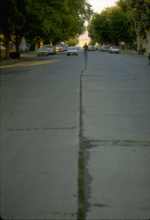
Sixth street itself is perhaps the best place to see that the offset is not just along a line, but is actually spread across many meters. In fact, noticeable displacement happens over a significant fraction of the block, but it's difficult to show that in a photo. (If you go to Hollister yourself try sighting down the line of telephone poles along the North side of Wentz alley.)
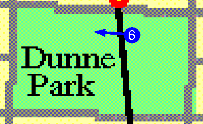
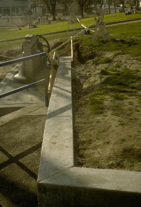
This newly built wall in the park straddles the creeping zone! This photo was taken on February 23, 1991, while the cement was still wet. In twenty years this wall should provide yet another fine example of fault creep.
In the park itself, notice there is a slight change in the elevation of the land across the fault (the East side is slightly higher). The fault probably moves a little bit vertically as well as horizontally, but the land elsewhere was flattened by developers before being built on.
Our walking tour of Hollister ends at the park. South of sixth street the streets and houses are newer and have not had as much time to become warped, although some creep can still be seen. If you keep walking farther South, though, you'll note it gets harder and harder to find obvious fault damage.
That's at least partially because the creep rate really does rapidly drop off South of this point, as the Calaveras fault fades away and ends. The motion not taken up by the Calaveras is compensated for by an equivalent increase in the rate of creep on the nearby San Andreas, which lies just a few miles to the West.