


To a certain extent, the surface of the ocean is a gravitational equipotential surface. Mountains and ridges beneath cause bulges in the sea surface which reflect the topograghy beneath. With each pass, the GEOSAT satellite measures thin swaths of the height of the sea-level above some reference ellipsoid. Numerous passes can be combined to create a map of the ocean floor topography.
The altimetry of the sea surface is also influenced by tidal fluctuations and currents that overwhelm the high frequency bulges that we are interested in imaging. Any two adjacent or crossing tracks are mismatched by a low or zero frequency shift.
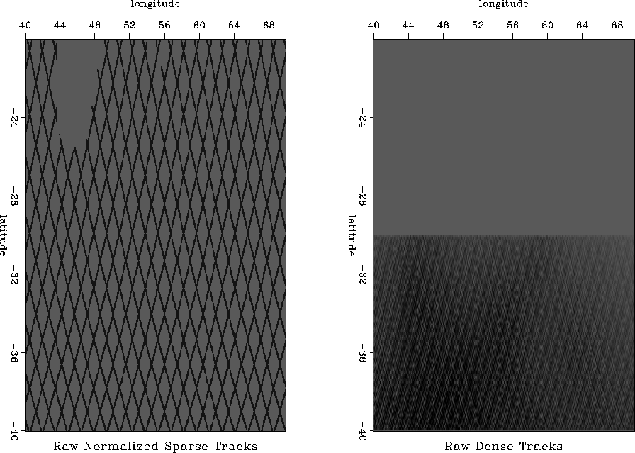
The satellite data consists of four different sets, each of which is a one-dimensional array of tracks connected end to end. There are two sets of sparsely sampled tracks, one north flying and one south flying. There are also two sets of densely sampled tracks, again one north flying and the other south flying. The sparse tracks cover the same region as the dense tracks plus a region of equal size to the north. Figure 1 shows the geometry of the data separated into sparse tracks and dense tracks.
Using a weighted least squares approach, Ecker and Berlioux (1995) imaged the dense southern region. They used a derivative along the data tracks to remove the shifts between each pass.
I applied a similar weighted least squares approach to the entire merged data set and have begun to address the missing data problem of the sparse tracks. I found that when prediction-error filters (PEFs) are estimated on the dense data and applied to the sparse data, many of the linear features are carried into the missing data, illustrating that PEFs are effectively able to fill in between the tracks.
 |


