
![]()

![]()
![]()

![]()
![]()
![]()
![]()
![]()
![]()
![]()
![]()
![]()
![]()
![]()
![]()
![]()
![]()
![]()
![]()
![]()
![]()
![]()
![]()
![]()
![]()
![]()
![]()
![]()
![]()
![]()
![]()
![]()
![]()
![]()
![]()
![]()
![]()
|
Recommends...
 By Tom Stienstra and Ann Marie Brown. Excellent guidebook, especially for the Bay Area. This is an updated version. |
 Hiking to the summit of Mount Diablo
|
|
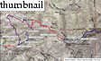
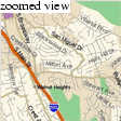
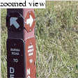
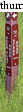
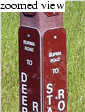
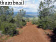
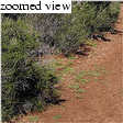
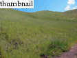
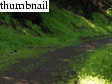
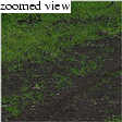
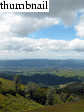
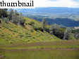
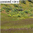
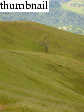
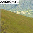
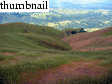
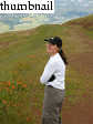
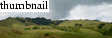
We got a "Calpine start" (09:30) from the Angel Kerley Road trailhead (920 feet elevation), which climbs immediately and steeply (600 feet over 1/2 mile) to the intersection with Burma Road (see tripmap). If you want to get to the summit, quickly, Burma Road is probably not your best bet. It meanders for over a mile, contouring a south-facing slope until meeting Deer Flat Road on airy Long Ridge. Deer Flat Road was pretty muddy in this section, which cuts through a low-elevation pine forest.
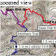
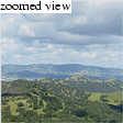
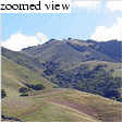
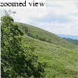
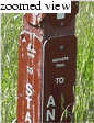
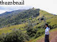
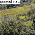
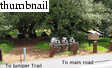
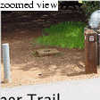
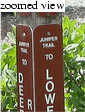
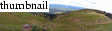
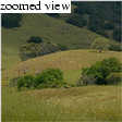
The best views on Deer Flat Road occur at the 2500-foot+ level, along Moses Rock Ridge. After cresting a hill, Deer Flat Road meets the trail that climbs up from Mitchell Canyon. It is here where one gets the first views of the summit, and in my opinion, where the scenic beauty of the hike deteriorates. Soon you're hiking through a campground. Warning, if you want (and you probably do) to take the Juniper Trail to the summit, be careful, as the trail junction is easy to miss. Just before reaching the main (Summit) road, note signs for the Laurel Nook Group Picnic Area and jog left to the Juniper Trail
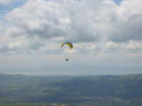
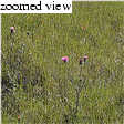
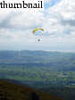
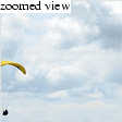
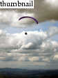
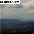
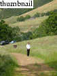
We missed the Juniper Trail on the climb and winded up following the road for about a mile toward the summit. It's not the end of the world, but it does detract from any positive aesthetic aspect that this crowded part of the mountain offers. Upon reaching the summit, we were quite disappointed with the hazy views. On this cloudy day, the spring greenery (and later, paragliders) would prove the highlight of the trip.
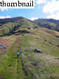
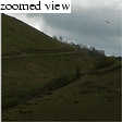
On the hike down, we found the Juniper Trail and marked it with our GPS for posterity. The paragliders were the highlight. First one, then another, and suddenly there were perhaps 10 in the air in our immediate vicinity, with ten more much higher, circling like the ungainliest vultures you've ever seen. The highest danced in and out of the fast-moving Stratus clouds. We avoided the muddy Burma Road on the way down, opting instead for the much more direct Mothers Trail.
| Paraglider Movie! (click to view -- 3.6 MB AVI file) | |
 |
|
|
| ||
|
|
|
|
|

|
|
|
|
|
|
|
|
|
|
|
|
|
|
|
|

|
|
|

|
|
|
|
|
|
Department of Geophysics Stanford University |

|