Research Adventures Images Scenery California Mendocino San Francisco Area San Diego Big Sur Julia Pfeiffer Burns Marathon Mount Carmel Mount Manuel Point Lobos SP Soberanes Canyon Tickle Pink Inn Round Top Carson Pass Ski Canada Colorado France Glacier NP Hawaii Italy Nevada New Mexico New Zealand Norway Oregon Random Sequoia/Kings Canyon Texas Utah Yosemite Virgin Islands Kim & Morgan Mom & Dad
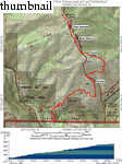
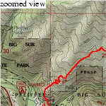
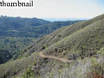
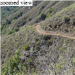
Day Hikes Around Monterey and Carmel: 77 Great Hikes By Robert Stone. A nice sampling of area hikes. Nice coverage of Manuel Peak hike, though most are easier.


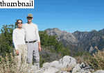
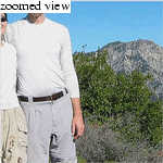
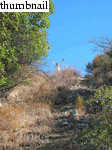
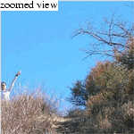
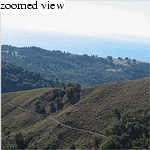
 mount_manuel
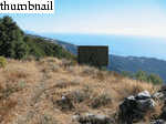
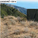
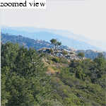
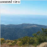