


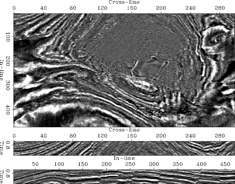
Figure 5 introduces the first seismic test case: A Gulf salt dome and its surrounding sediments and faults. The Figure 7 depicts the time slice and vertical sections indicated by the thin mid-volume lines of Figure 5.
|
gulfFoltTotRawVol
Figure 5 Volume view of Gulf salt dome. The Figure represents a volumetric view of the sections of the Figure 7. The mid-volume lines indicate the position of the extracted and displayed two-dimensional sections. | 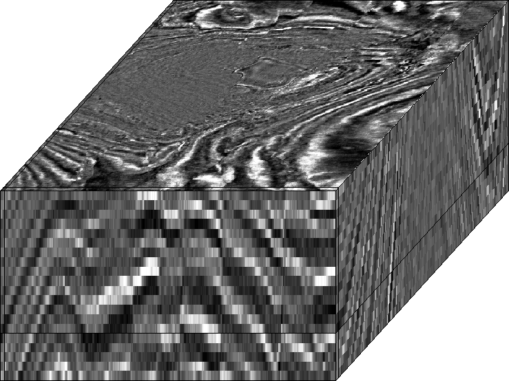 |


The central salt body is characterized by its low-amplitude internal reflections. The wave-like character of the time slice is due to the outcrops of steeply dipping sedimentary layers. The vertical east-west section of Figure 7 shows how the central salt body has pushed the surrounding sedimentary layers to a near vertical dip. Layers further away from the salt remained approximately horizontal.
The time slice shows a major normal fault that strikes from the north-east to the south-west and that truncates the southern tip of the salt body. Other, smaller faults simply radiate outward from the central salt dome. In addition, the image seems to be somewhat corrupted by weak north-south streaks at the nearly horizontal layers of the time slice's south-east corner. The streaks are probably due to acquisition footprint and constitute image discontinuities as well.
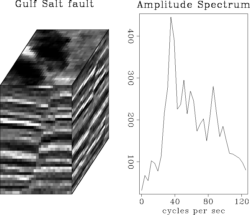
The vertical sections of Figure 7 show that the faults dip almost vertically and cut the sediments sharply. The left panel of Figure 6 isolates a typical fault of the image. The corresponding averaged trace spectrum on the left indicates that the fault shows considerable energy at high, near-Nyquist frequencies. In this regard, the salt dome's discontinuities resemble the synthetic test case of Figure 4.
 |
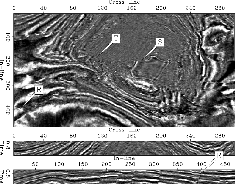
Bahorich and Farmer 1995 published discontinuity maps computed from the same seismic image volume. To be competitive with these published maps, a discontinuity attribute has to delineate the salt dome's outward radiating faults and suppress the image's sedimentary layers independent of their dip. For example, I expect a discontinuity attribute to isolate the forked fault that I marked with an R in the time slice and the in-line section of Figure 8. Ideally, a discontinuity map would additionally indicate the fault feature that truncates the salt body at T, and the pentagonoid image feature S.
 |
 |